By Douglas Kuluk
Ice Roads: Lifelines in the North
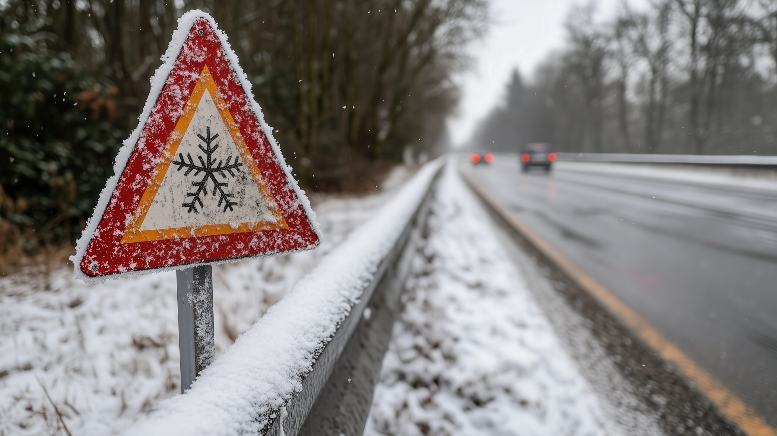
In northern Canada, ice roads are more than just winter highways—they’re lifelines. Every year, these frozen routes connect remote communities to essential supplies, fuel, and medical services. For industries like mining and energy, ice roads are critical for transporting equipment and resources. But as valuable as they are, ice roads are also dangerous. Thin ice, hidden currents, and unpredictable weather make every trip a calculated risk. That’s where technology comes in.
For over 20 years, I’ve worked on designing and maintaining ice roads across Manitoba and the Northwest Territories. In that time, I’ve seen firsthand how tools like satellite imaging and ground-penetrating radar have revolutionized safety and efficiency in this field. They don’t replace experience, intuition, or Indigenous knowledge, but they enhance it in ways that make ice travel safer for everyone.
Seeing the Big Picture with Satellites
Satellite imaging has changed the game when it comes to monitoring northern landscapes. From space, we can observe lakes, rivers, and terrain on a massive scale, tracking freeze-up and thaw patterns over time. This is invaluable for planning ice road routes before a single vehicle hits the ice.
In the past, determining safe routes relied heavily on local observation and historical patterns. While that knowledge is still critical, it only covers limited areas. Satellites provide a bird’s-eye view, showing us where ice may be thinner due to currents, inflows, or other natural factors. By comparing current conditions with historical data, we can make better predictions about when a road can safely open and when it should close.
Satellite imagery also helps us identify areas prone to early thawing or unexpected meltwater pooling. These subtle signals are often invisible from the ground but can be detected from orbit. By spotting them early, we reduce the risk of accidents and ensure that trucks carrying critical supplies don’t get stranded or fall through weak ice.
Ground-Penetrating Radar: Seeing Beneath the Surface
While satellites give us a wide view, ground-penetrating radar (GPR) lets us see beneath the ice itself. This technology sends electromagnetic waves through the ice and water, revealing thickness, density, and hidden hazards like air pockets or cracks.
For ice road engineers, this is a game-changer. Previously, assessing ice thickness required drilling holes, which is time-consuming and limited in scope. Radar allows us to scan large areas quickly and safely, giving real-time data that can inform critical decisions. Trucks can be routed to the safest sections, and weaker zones can be reinforced or avoided entirely.
GPR also helps monitor ice over time. As temperatures fluctuate, ice can thin unevenly. Continuous monitoring allows us to detect dangerous changes early, adjust speed limits, or temporarily close sections of the road to prevent accidents.
Combining Technology with Local Knowledge
Even the most advanced technology isn’t a substitute for local expertise. Indigenous elders, hunters, and long-time residents provide insight into subtle ice behaviors that instruments alone might miss. By combining satellite data, radar scans, and traditional knowledge, we create a more complete picture of ice conditions.
For example, a radar scan might show ice of adequate thickness, but a local hunter may notice unusual water movement or wind effects that suggest a weak spot. Taking both into account ensures safer routes and prevents accidents that could have serious consequences. The key is integration—using every tool at our disposal rather than relying on one source alone.
Real-World Applications
One of my most rewarding projects involved a 400-kilometer ice road network in northern Manitoba. By combining satellite imagery with radar and local guidance, we were able to design routes that minimized risk while maximizing efficiency. Trucks carrying fuel, food, and medical supplies reached their destinations on schedule, and the number of incidents decreased significantly compared to previous years.
The technology also allowed for better planning of ice reinforcement. In areas where radar detected thinner sections, crews were able to flood and build up ice safely, extending the road’s operational life. Satellite imagery helped us monitor the surrounding lakes for early thawing signals, giving communities advanced notice and reducing last-minute emergencies.
Safety Beyond the Roads
Technology doesn’t just protect vehicles and cargo—it protects people. Ice road accidents can be fatal, and in remote areas, emergency response options are limited. By improving safety through satellite and radar monitoring, we reduce the likelihood of vehicles breaking through ice, getting stranded, or encountering hazardous conditions. This means drivers, engineers, and community members can travel with greater confidence.
Moreover, these tools support better planning for climate adaptation. As winters become shorter and ice conditions more unpredictable, having precise, real-time information is crucial for making decisions that keep communities connected year after year.
Looking Ahead
The future of ice road engineering will continue to rely on technology, but it will also require creativity and collaboration. Advances in drones, sensors, and predictive modeling will provide even more detailed information about ice conditions, enabling engineers to respond faster and more effectively.
However, technology alone is not enough. It works best when combined with local knowledge, careful planning, and respect for the land. By integrating these perspectives, we can build ice roads that are not only safer but also more resilient to the changing climate.
For me, the work isn’t just about engineering—it’s about people. Ice roads connect communities to life’s necessities and opportunities. Every improvement we make, every hazard we prevent, ensures that families, workers, and residents in the North can rely on safe, dependable transportation. And that is why technology, when used wisely, is a vital tool in the future of ice road safety.